How GIS-Based Need Assessment Can Help CSR Teams Reach Underserved Communities
 Team TechCSR
30 Oct 2026
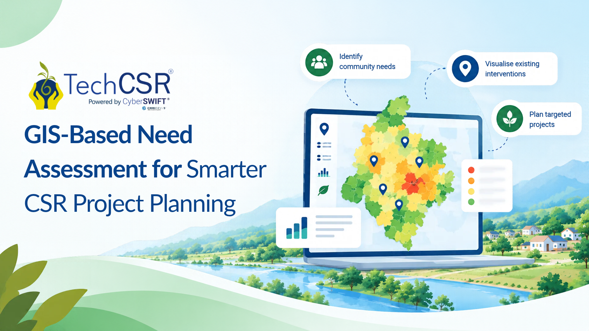
India's Corporate Social Responsibility (CSR) spending continues to grow, but an important question remains: are investments reaching the communities where development needs are greatest?
For CSR heads, foundation leaders, and project managers, deciding where to invest is as important as deciding how much to allocate. Without a clear understanding of local needs and existing interventions, companies may find it difficult to identify the most suitable locations for their projects.
GIS-based need assessment helps CSR teams make more informed decisions by connecting geographical information with development needs and existing project coverage. Let's explore how this approach can support better CSR planning and monitoring.
Understanding the Geographical Gap in CSR
Aspirational districts are areas identified by the Government of India for focused development under NITI Aayog's Aspirational Districts Programme, launched in 2018. The programme tracks progress across health and nutrition, education, agriculture and water resources, financial inclusion and skill development, and basic infrastructure.
These themes overlap with several areas eligible for CSR activities under Schedule VII of the Companies Act, 2013.
However, development needs and CSR investments are not always distributed evenly. The CRISIL analysis cited in the original article reported that approximately 12% of the CSR expenditure covered in its FY2023–24 dataset went towards projects impacting aspirational districts. A separate FY2024–25 analysis reported a share of approximately 10%.
These figures come from different datasets and company groups, so they should be treated as indicative rather than directly comparable year-on-year measurements.
The findings highlight an important challenge: CSR teams need reliable information to understand where support is required and whether existing interventions are addressing local needs.
Why Is Choosing the Right CSR Project Location Challenging?
Several practical issues can make geographical planning difficult.
Geographical concentration: Companies often prioritise communities around their operational locations, consistent with the local-area preference under Section 135 of the Companies Act. However, teams may also need to evaluate other locations that align with their CSR objectives.
Scattered information: Development indicators may be spread across government dashboards, surveys, district reports, and local assessments. Collecting and comparing this information can be time-consuming.
Limited visibility into existing projects: Without a clear picture of ongoing interventions, teams may struggle to identify potential gaps or understand where additional support could be valuable.
Monitoring distant projects: When projects operate across multiple locations, collecting field updates and reviewing implementation progress can become more challenging.
A structured need assessment can help address these information gaps before funding decisions are made.
How GIS-Based Need Assessment Helps CSR Teams
Geographic Information Systems (GIS) allow users to organise, analyse, and visualise information linked to geographical locations. In CSR planning, this can help teams understand local development needs alongside existing projects and potential intervention areas.
A practical GIS-based assessment involves five steps.
1. Identify local needs. Define the development challenge and select relevant indicators. An education project, for example, may require information about access to learning facilities and identify gaps in educational services.
2. Collect relevant data. Gather information from credible government sources, published reports, and field assessments. Check that the data is sufficiently current and suitable for comparison.
3. Map existing interventions. Visualise available information about ongoing CSR projects and other development programmes to understand where activities are concentrated.
4. Compare potential locations. Examine identified needs, existing coverage, implementation of feasibility, and the availability of suitable NGO partners. This can help teams shortlist locations for further assessment.
5. Connect planning with monitoring. Associate selected project locations with field updates and implementation records to support ongoing reviews.
GIS does not automatically determine the best location for investment. Its value lies in helping CSR teams compare evidence, identify potential gaps, and document the reasoning behind their decisions.
An Example: Planning an Education Initiative
Consider a company evaluating two blocks for an education project. Both have identified educational needs, but available information suggests that one already has several ongoing interventions, while the other appears to have less programme coverage.
A GIS-based assessment can help the CSR team compare the available information and identify where further investigation may be necessary.
Before approving funding, the team should validate the findings locally, assess potential implementation partners, estimate project costs, and establish measurable objectives.
If the assessment confirms an unmet need and a feasible intervention, the company can make a more informed funding decision. The objective is not simply to choose the location with fewer projects, but to understand where the proposed intervention can address a genuine development gap.
From Need Assessment to Project Monitoring
Identifying the right location is only the beginning. CSR teams also need to monitor implementation and evaluate whether projects are progressing towards their intended outcomes.
GIS can support this process by linking project locations with field reports, photographs, and other relevant implementation information. When combined with baseline data and suitable performance indicators, this information can help teams review progress and identify areas requiring attention.
However, geographical data alone cannot demonstrate social impact. Measuring outcomes requires reliable indicators, appropriate evaluation methods, and comparisons against the project's objectives.
Where TechCSR Fits into CSR Planning
TechCSR, powered by CyberSWIFT, provides customised CSR management and monitoring software along with advisory and consulting support.
Its capabilities include GIS-enabled need assessment, mobile-based field reporting and data capture, project monitoring, and CSR reporting. These tools can help organisations manage project information and connect planning with implementation and review.
For companies managing multiple CSR projects and implementing partners, a structured platform can support more consistent information management and help decision-makers review project progress.
Want to explore how GIS-enabled assessment can support your CSR planning?
Book a demo of TechCSR to see how its customised CSR management platform can support your organisation's project planning and monitoring requirements.
Conclusion
Effective CSR planning requires more than allocating funds. It requires an understanding of local needs, existing interventions, implementation capacity, and the outcomes a project aims to achieve.
GIS-based need assessment helps CSR teams bring geographical information together, identify potential gaps in programme coverage, and compare locations using relevant evidence.
When combined with local validation, capable implementing partners, and consistent monitoring, it can support more informed and transparent CSR decisions.